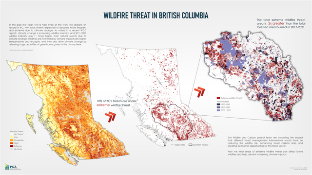
In the past five years, B.C. has experienced the three worst fire seasons in recorded history, and fire events are expected to increase in frequency and severity due to climate change.
The Wildfire and Carbon project team is studying large areas of extreme fire risk— roughly 10 per cent of B.C.’s forested area. The team is looking at how to treat these areas to reduce the consequences of future wildfires and reduce emissions of greenhouse gases.
A recent report from the Intergovernmental Panel on Climate Change noted climate change is increasing area burned by wildfire, and included a study on B.C.’s 2017 wildfires that found that burned area was between seven and 11 times higher than natural events due to climate change.
Wildfires are intensifying because of higher temperatures, drought, and extreme fuel conditions. Wildfires accelerate climate change by releasing huge quantities of greenhouse gas emissions from burned fuels.
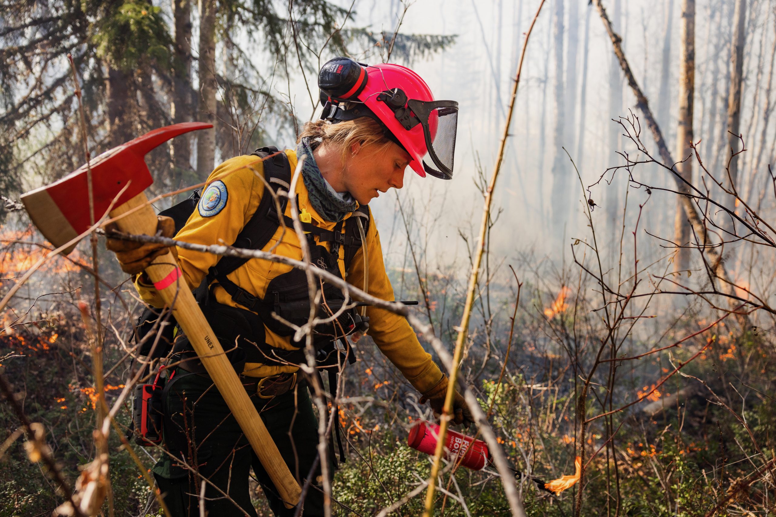
The team is modelling the effect of different forest-management options to reduce future wildfire intensity while also providing products and energy to meet society’s needs, keeping B.C.’s forests growing and removing carbon from the atmosphere.


