Mountain communities are teaming up with researchers to adapt to changing snowpacks and geohazards.
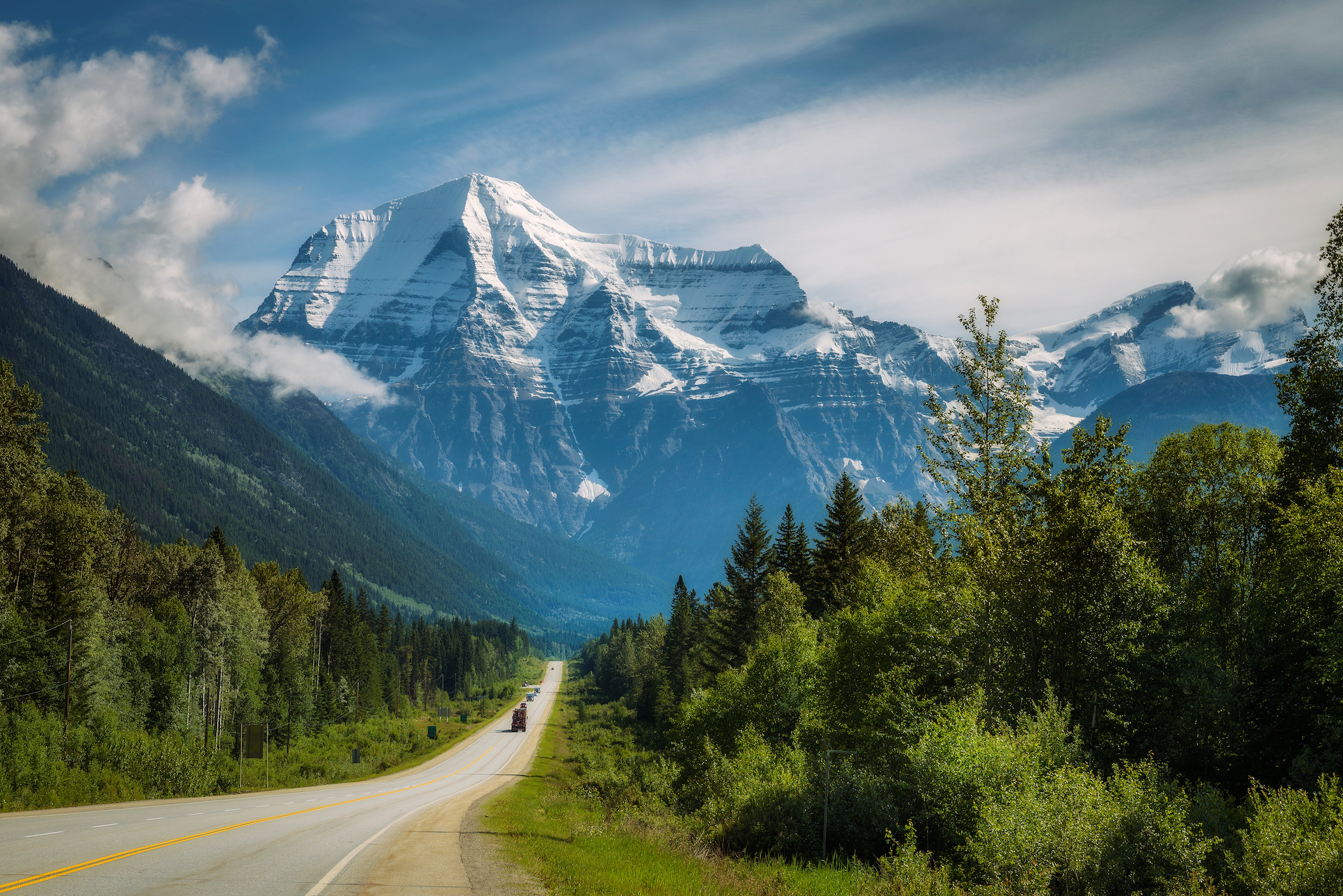
Climate change is affecting the risk of rockfalls, landslides, mudslides, and floods in B.C.’s mountain communities. Communities like Valemount, McBride, and Dunster – located on the lands of Lheidli T’enneh, Simpcw, Kootenai, Shuswap, and As’in’i’wa’chi Niy’yaw Askiy – are especially exposed to the shifting hazards.
Cost-effective and equitable actions to reduce climate impacts require a solid understanding of the risks. The Pacific Institute for Climate Solutions is funding work to compile and track data on key mountain hazards (e.g., landslides, rockfalls, mudslides). The project, Mountain Community Adaptation to Changing Snowpacks and Geohazards, will provide community leaders access to real-time data on snowpack, ground movement, and climate conditions. The research team is collaborating with residents and leaders to ensure the work is practical and reflects lived experiences.
Researchers: Joseph Shea
Collaborating Organizations: University of Northern British Columbia, Village of Valemount, Regional District of Fraser-Fort George, Dunster Community Forest, B.C. Ministry of Forests